29. Still not plowed out (16:45), maybe tomorrow. The snow event, for me, was just under 24 hours, beginning around 10:30 yesterday and finally tapering off after 8:00 this morning. A few light flurries continue this afternoon, but lake-effect tonight may bring 1-4 more inches from the Bayfield Peninsula eastward to the Gogebic Range of the Western UP.
Info that I'll include in this blog:
1) Highest snowfall totals in the region. 2) General snowfall totals in my area. 3) My measurements. 4) Yesterday's numbers. 5) Current conditions. Pictures (to the right):
Top: My kitten (9.5 months old) Amenti hasn't experienced snow until today. She didn't freak out about being dropped into the snow, but probably likes the cold as much as I do. Bottom: Taking new snow depth measurement, core sample, and total snow depth measurement at one of my snowboards. This one seems to drift a little, but it's gives me a reference for my second board.
1) The highest snowfall total, that I found, was 20 inches in Grand Marais, Cook Co, MN. It's a town on the North Shore of Lake Superior just before the Canadian border. That's 78 miles NNE of me. I would imagine that the Lake had a lot to do with this total.
The highest snowfall total in Wisconsin seems to be from 3 miles west of Bayfield, Bayfield Co, at 13 inches. That's about 9 miles NE of me, quite a bit closer than G. Marais. It's possible that Chequamegon Bay and the large hill west of Bayfield had a bit to do with this total too. The highest total I found in NE Wisconsin (Green Bay's forecast area) was Aurora in Florence Co, with 9.2 inches.
The highest total reported on the NWS site from west central Wisconsin (Minneapolis's area) was 6.60 inches in Stanely, Chippewa Co. However, I have a friend in Clayton, Polk Co. that mentioned he measured 7 inches, though he may not have officially reported it.
One is taken looking down our driveway (it's pretty long with a downward slope and left curve in the middle... it can be a nightmare).
The other is a shot of the garage. Light snow in the air just before noon.
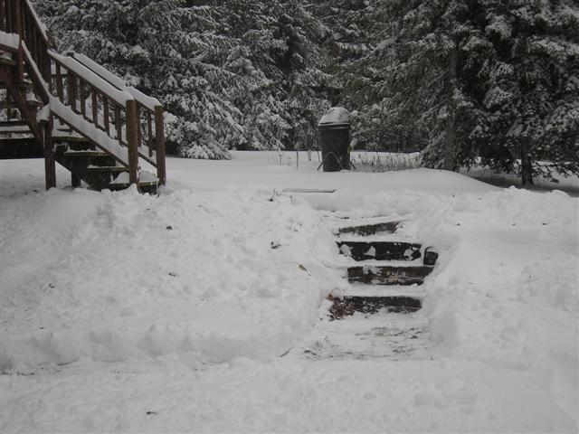
Pictures (to the right):
Top: Steps up the front deck.
Bottom: And the other is on the side of the house towards the driveway and garage. The railroad-timber steps an the back steps up the deck. Still waiting for the plow to come through so I can finish cleaning up with the shovel.
2) Snowfall reports around my area:
Ashland, Ashland Co. 12" Bayfield, Bayfield Co. 11.5" Mason, Bayfield Co. 9" 5 S Herbster, Bayfield Co. 7" Oulu, Bayfield Co. 7" Butternut, Ashland Co. 7" Park Falls, Price Co. 7" 7 SW Iron Belt, Iron Co. 6"
Pictures ( to theleft):
Top: The south-side of the house, looking back towards the woods and a small section of Maple Hill. White Spruce, Basswood, and Sugar Maple dominate the forest that direction.
Bottom: Looking up at the birdfeeder. Some Sugar Maple are in the immediate background and then some stray Red Pine farther back into the woods. They're not quite native here, but planted extensively during the CCC days of the 30's.
3) My measurement:
After much poking around I settled on 11.5" for total snowdepth.
This storm total came out to be 9" that produced a water equivalent of 1.1" liquid. That produces a ratio of 8.18:1. This surprises me a little, the snow seemed lighter but now that I think about it, it was heavy granules before it turned over to large flakes. I checked several core samples and they all came out similar.
4) Yesterday's numbers:
Temps: 0.5 / 23.5 Dewpoints: rose from -5 to 21 Barometer: steady then fell from 30.50 to 29.80 "Hg Winds: 4-6 gusting to 14 mph, mainly ENE Windchills: not really a factor
5) Currently (at 16:40):
Temp: 26.3 Dewpoint: 24 degrees Barometer: 29.95 "Hg and rising Winds: 4 mph from the NW Windchill: 22 degrees


 the immediate background and then some stray Red Pine farther back into the woods. They're not quite native here, but planted extensively during the CCC days of the 30's.